Explore high-resolution LiDAR products, 3D terrain, aerial imagery and geospatial information from across the Cook Islands – all through your web browser.
CookGeo makes it easier to find, view and explore geospatial information about the Cook Islands without needing specialised GIS software.
Search datasets by keyword, category or island and explore high-resolution LiDAR products including elevation models, 3D terrain and contours, alongside aerial imagery and other national geospatial datasets.
Once inside the map viewer, you can switch layers on and off, click features to learn more about the information you’re viewing, access dataset details and metadata, and measure distances and areas directly from the map.
Whether you’re working in infrastructure, planning, climate resilience, research or education – or simply want to see our islands from a different perspective – CookGeo provides a new way to explore our national geospatial information.
Over the past few months, our LiDAR Island Spotlight series has taken you across the Cook Islands, revealing our landscapes in remarkable new detail.
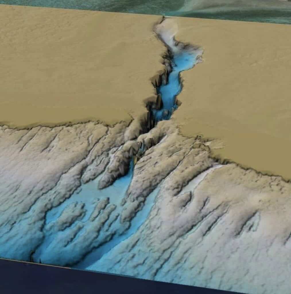
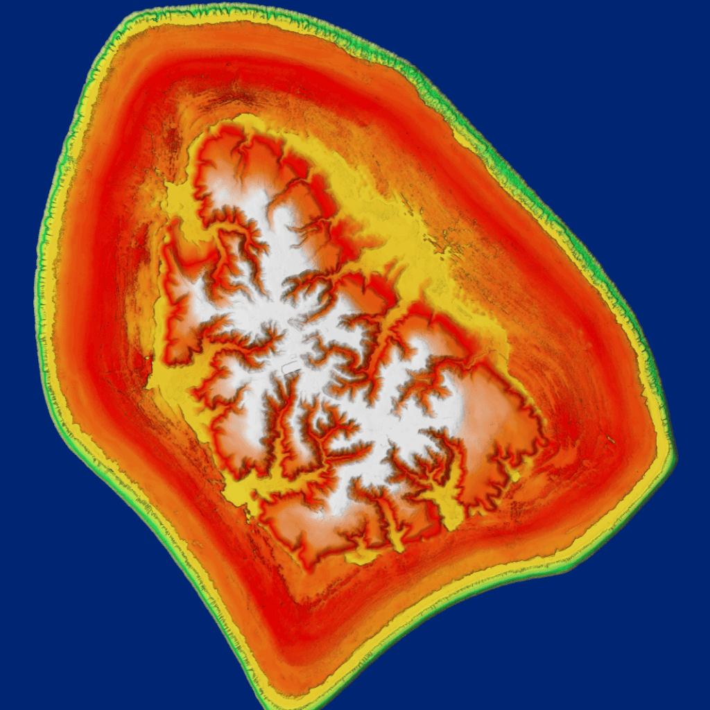
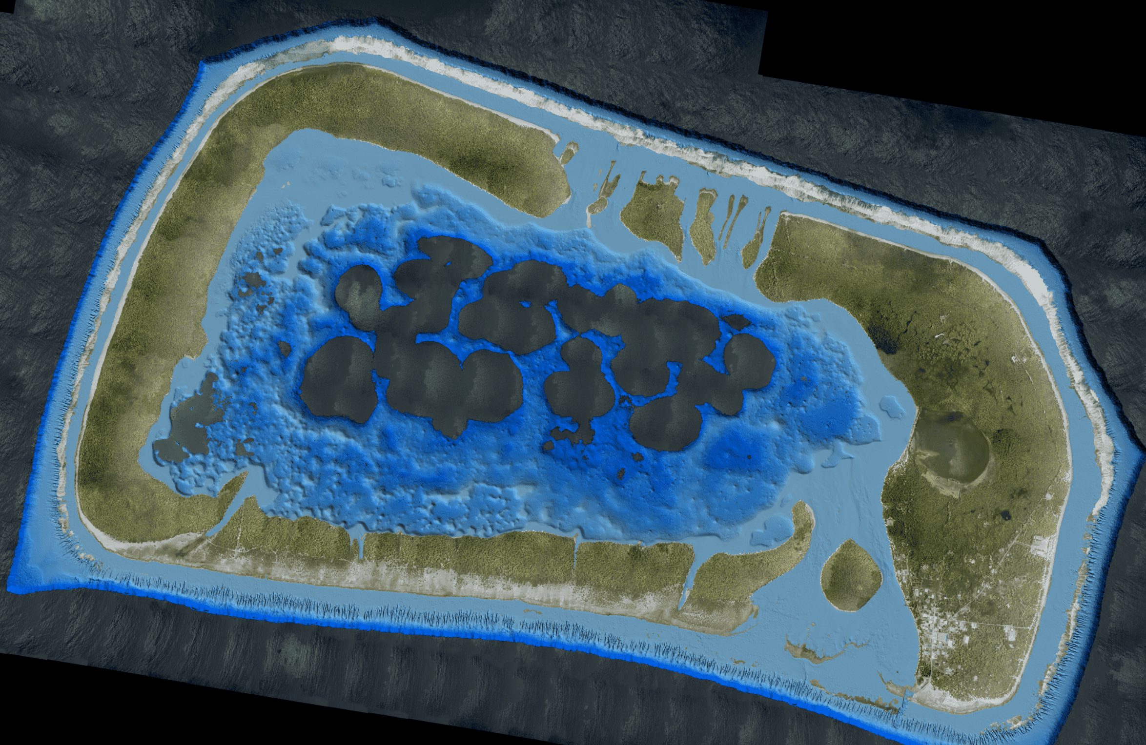
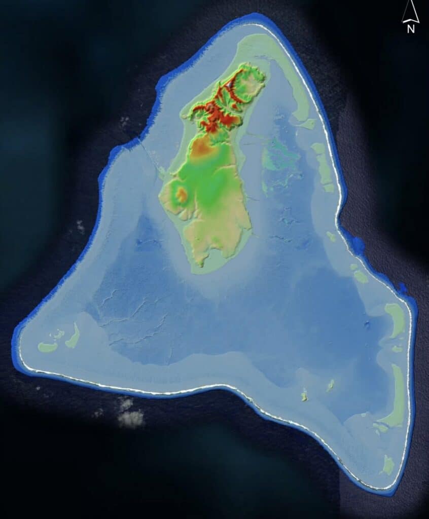
From Rarotonga’s mountains and valleys to the lagoons and reefs of our northern atolls, LiDAR allows us to see elevation, terrain and even parts of our surrounding seafloor in ways that were not previously possible.
LiDAR data products have now been developed for 14 of the Cook Islands’ 15 islands, creating a valuable national resource for understanding our environment and supporting better planning for the future.
The value of LiDAR goes far beyond creating detailed maps.
Across the Cook Islands, this information can support better decisions about the places where we live, work and build.
LiDAR data can help us better understand roads and drainage, water catchments, flooding, coastal areas, infrastructure, land elevation and our natural environment – giving planners and technical teams more detailed information before decisions are made on the ground.
For Infrastructure Cook Islands and our partner agencies, it provides another tool to support informed planning and the delivery of resilient infrastructure for our islands.
And now, through CookGeo, this information is easier to see and explore.
Our islands are ready to explore.
Discover the Cook Islands from a whole new perspective.
CookGeo was developed by the Pacific Community (SPC) in partnership with Infrastructure Cook Islands.
The LiDAR Project is funded by the Green Climate Fund (GCF) and the New Zealand Ministry of Foreign Affairs and Trade (MFAT), and is implemented by Infrastructure Cook Islands through the LiDAR Cook Islands Project.