The Cook Islands LiDAR Project is a national initiative using cutting-edge mapping technology to capture the Cook Islands in unprecedented detail. Spanning 14 islands, the project is providing new insights into our land, reefs, lagoons, and infrastructure to support smarter planning, stronger climate resilience, and sustainable development for generations to come.
What is LiDAR?
LiDAR (Light Detection and Ranging) is a remote sensing technology that uses laser pulses from an aircraft to accurately measure the shape and elevation of the Earth’s surface and, in some areas, reefs and lagoons.
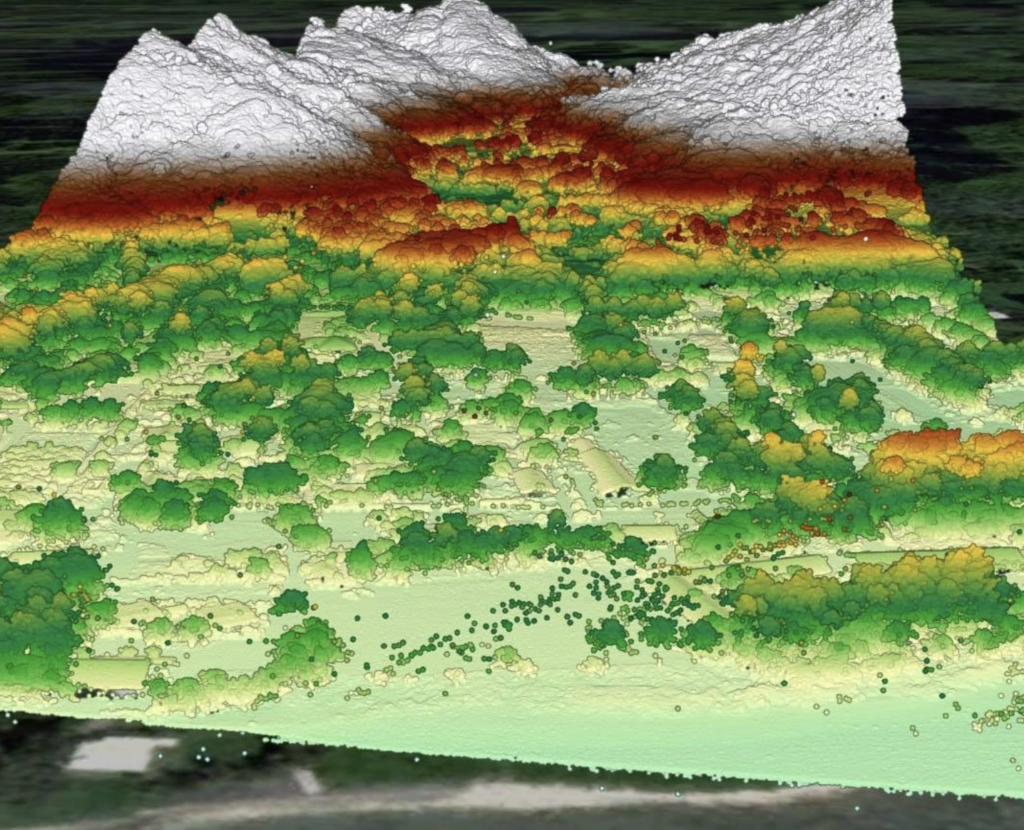
By collecting millions of measurements, LiDAR creates highly detailed three-dimensional maps that provide a new perspective on the Cook Islands and support better understanding of our natural and built environments.
Mapping Our Islands, Shaping Our Future
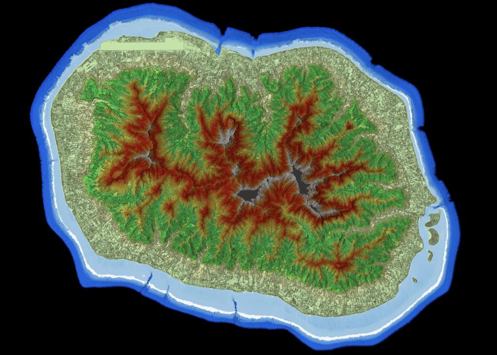
Rarotonga: LiDAR Digital Surface Model
Why is LiDAR Important?
LiDAR helps us better understand our islands and prepare for the challenges that lie ahead. By providing highly accurate information about the shape and elevation of the land, reefs, and coastlines, LiDAR gives us the knowledge needed to make smarter decisions for our communities and future generations.
LiDAR data can help us:
Better understand areas at risk from flooding, storm surge, and coastal erosion
Plan and maintain roads, buildings, and other important infrastructure
Strengthen disaster preparedness and emergency response efforts
Protect and manage our natural environment, including watersheds, reefs, and vegetation
Support sustainable land use and development planning
By creating a clear and accurate picture of the Cook Islands today, LiDAR will help us monitor change over time and build a more resilient future for all Cook Islanders.
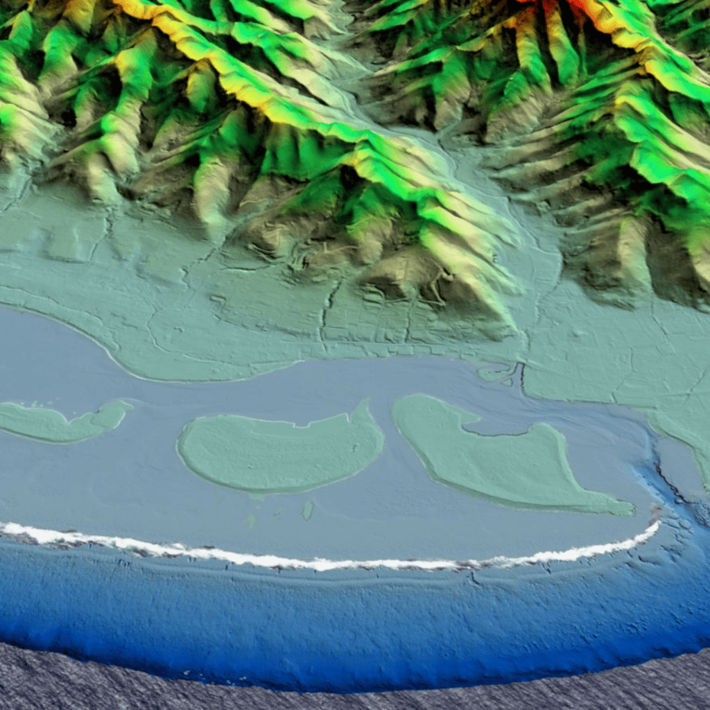
Muri, Rarotonga: LiDAR 3D Model
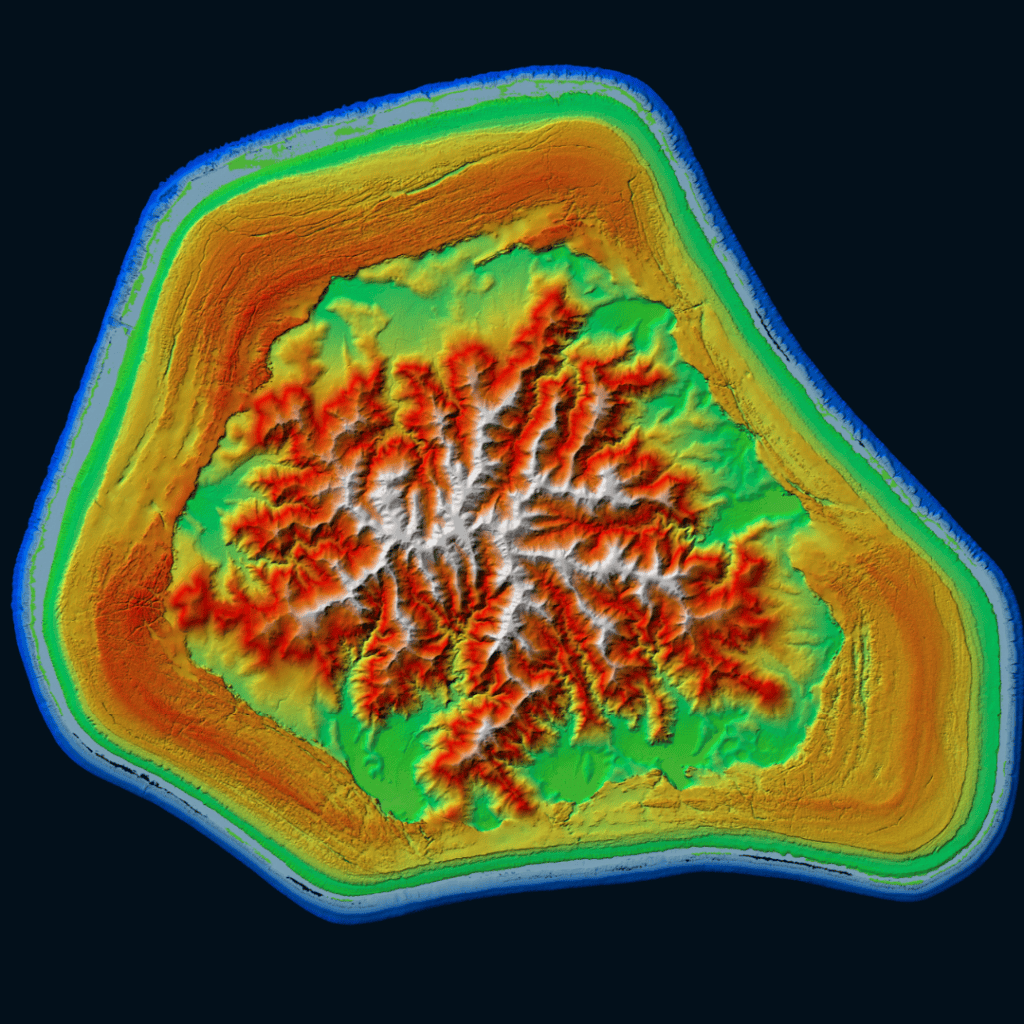
Mangaia: LiDAR Digital Elevation Model
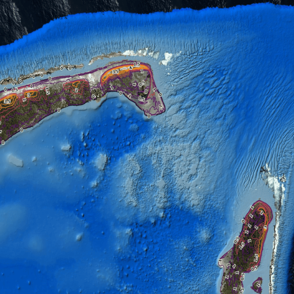
Penrhyn: LiDAR Contour Map
Data Products and Access
The Cook Islands LiDAR Project has generated a range of high-quality geospatial datasets to support government planning, research, environmental management, and infrastructure development. These products include LiDAR point clouds, digital elevation and terrain models, orthophotography, contours, bathymetry maps, and associated metadata and technical reports.
Arrangements for accessing and downloading LiDAR datasets will be announced shortly as preparations for project launch are finalised. Information on data availability, licensing, and access procedures will be published on this page as it becomes available. Technical datasets are primarily intended for use by government agencies, researchers, partner organisations, and other authorised users to support planning, analysis, and decision-making. The Ministry of Infrastructure Cook Islands is committed to maximising the value of this national dataset by supporting its use across these groups.
Contact Us
For further information about the Cook Islands LiDAR Project, including enquiries relating to project activities, data availability, or potential applications of LiDAR datasets, please contact the Ministry of Infrastructure Cook Islands.
National Hydrography and Geoscience Division, Ministry of Infrastructure Cook Islands Ara Tapu, Arorangi PO Box 102, Rarotonga Cook Islands
Project updates and information regarding data access will continue to be published on this page as they become available.
Rarotonga: LiDAR 3D Model
Want to stay up to date with the LiDAR Cook Islands Project? Sign up below to receive our monthly newsletter filled with updates, news, and useful resources.
This project is funded by the Green Climate Fund (GCF) and the New Zealand Ministry of Foreign Affairs and Trade (MFAT), and is implemented by Infrastructure Cook Islands through the LiDAR Cook Islands Project.